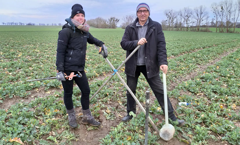
Dr. Thomas Gaiser (University of Bonn) and Susanne Klembt (HNE Eberswalde) take soil samples to record the soil texture and soil carbon content near the agroforestry experimental area.
Second soil mapping campaign on the agrofrost experimental field in Großmutz
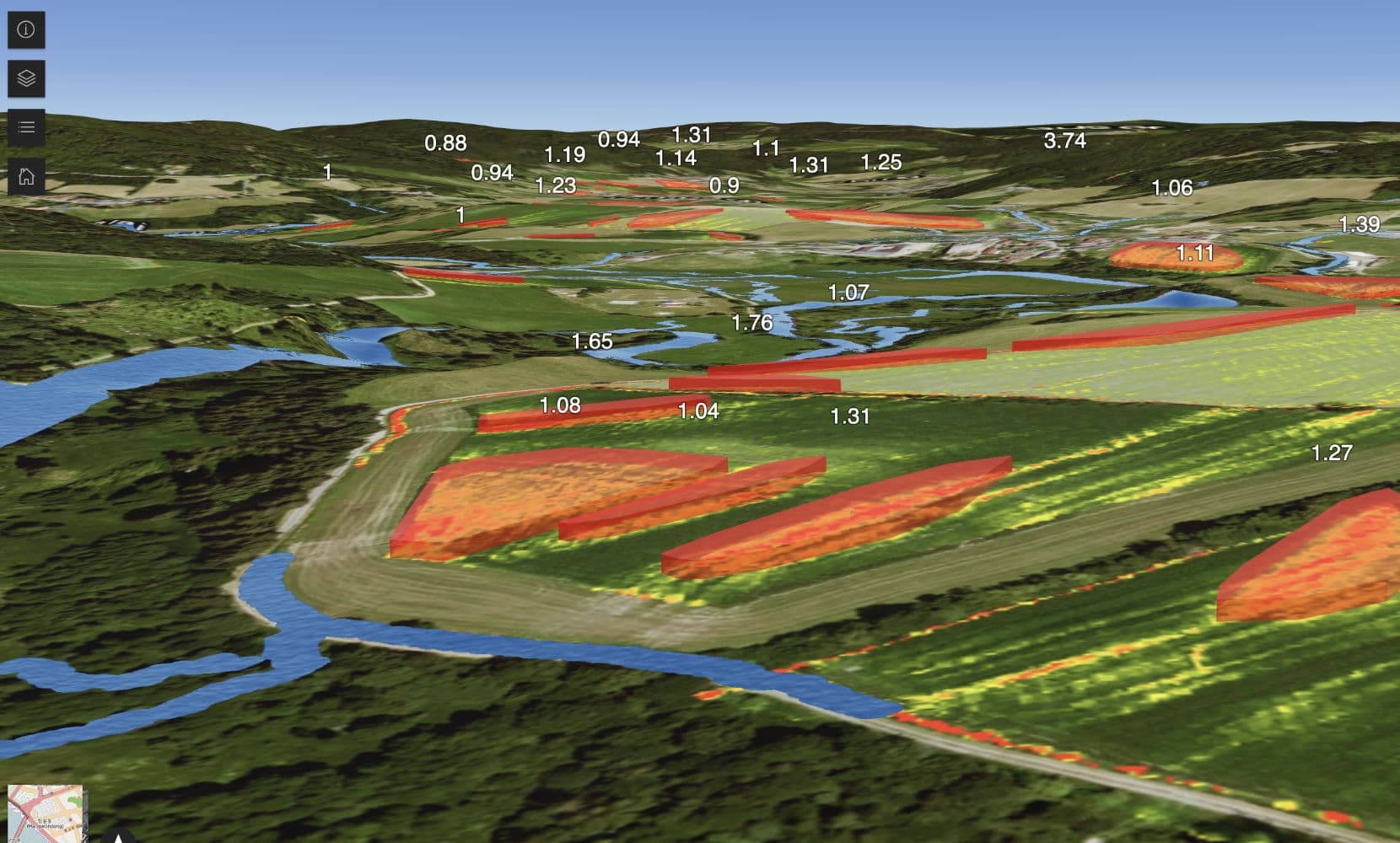
To record the spatial distribution of soil properties and ecosystem services (ÖSL), from 27.-28. February a second soil mapping campaign was carried out on the agroforestry DAKIS experimental field in the Löwenberger Land (Brandenburg), under the direction of the University of Bonn. In particular, the characterization of the small-scale variability of the soil properties is very important, as they strongly influence the effect of agroforestry systems on many ES. The spatial distribution of selected ES (carbon fixation in the soil, risk of water erosion, water retention capacity) was determined in relation to the soil texture class, clay and silt content, stone content, soil depth, soil color, etc. The field work that was carried out was part of the DAKIS sub-project “Data and sensors – real-time monitoring of agro-ecosystems”. The aim of the sub-project is to continuously record the agricultural landscape in the test regions in order to obtain data for the calibration and validation of models or for the referencing of satellite-based observations.